How Topcon HiPer VR Technology Improves Accuracy on Construction Sites in the Mountains
Construction projects in mountainous environments present a unique set of challenges that demand advanced technological solutions. Steep gradients, unstable ground conditions, unpredictable weather patterns, and limited accessibility can significantly impact the precision of surveying and layout operations. In such demanding terrains, maintaining consistent accuracy is not merely beneficial—it is essential for safety, efficiency, and long-term structural integrity. Modern construction workflows increasingly rely on high-performance GNSS technology to overcome these environmental constraints and ensure that design intent is accurately translated into field execution.
Topcon HiPer VR technology
has emerged as a powerful solution designed to support precision-driven construction practices in rugged landscapes. By combining advanced satellite tracking capabilities with intelligent signal processing and durable hardware design, this technology enables construction professionals to perform reliable positioning tasks even in areas with signal obstructions and elevation variability. Its integration into mountainous construction projects enhances workflow continuity, reduces rework, and improves decision-making in real time. As infrastructure development continues to expand into remote and elevated regions, understanding how such innovations improve measurement accuracy becomes crucial for contractors seeking consistent project performance and sustainable outcomes.
Understanding Accuracy Challenges in Mountain Construction
Terrain Complexity and Measurement Limitations
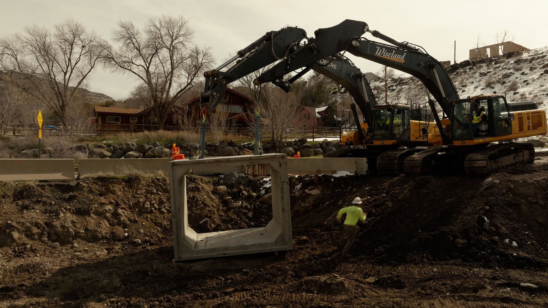
Mountain construction sites often feature uneven topography, sharp elevation changes, and restricted line-of-sight conditions that complicate field operations. Traditional surveying equipment can struggle to maintain reliable accuracy when faced with these physical barriers during demanding project conditions. Signal multipath effects caused by rock faces, dense vegetation, or narrow valleys may distort positioning data and reduce confidence. Inaccurate measurements at the early stages of construction can lead to alignment errors, grading inconsistencies, and structural instability later in the project lifecycle, increasing overall risks.
Precision becomes especially critical when constructing access roads, retaining structures, or foundation systems on sloped surfaces across expansive mountainous sites. Minor deviations in layout can translate into significant cost overruns due to rework or safety risks affecting productivity. Therefore, construction professionals require positioning solutions capable of adapting to challenging terrain without compromising measurement reliability or performance consistency.
Environmental Influences on Field Operations
Mountain environments introduce additional variables such as sudden weather changes, temperature fluctuations, and high wind exposure throughout project durations. These conditions can affect equipment performance and the ability to collect consistent data during extended field operations. Snow cover or fog may also limit visibility and delay manual verification processes, increasing dependence on digital measurement tools. Reliable GNSS technology that operates effectively in varying environmental conditions helps maintain productivity and ensures project timelines remain achievable despite external constraints or unforeseen disruptions.
How Advanced GNSS Technology Enhances Field Precision
Multi-Constellation Satellite Tracking
One of the defining advantages of modern positioning systems lies in their ability to track multiple satellite constellations simultaneously across diverse geographic conditions. This capability improves positional accuracy by increasing the number of available signals, particularly in mountainous regions where partial sky visibility can restrict traditional GNSS receivers significantly. Enhanced signal diversity reduces reliance on a single satellite network and minimizes the risk of measurement interruptions during critical construction tasks.
By leveraging comprehensive satellite coverage, construction teams can maintain consistent accuracy while performing tasks such as site staking, grade verification, and machine guidance calibration efficiently. Improved signal reliability contributes directly to efficient workflow continuity, enabling professionals to work confidently in terrain where positioning uncertainty once posed significant operational challenges.
Intelligent Signal Processing Capabilities
Sophisticated signal processing algorithms play a vital role in filtering noise and correcting potential data distortions in rugged terrain environments. In mountainous construction scenarios, reflective surfaces and natural obstructions can introduce measurement errors that compromise project precision. Intelligent processing technology helps identify and mitigate these inaccuracies in real time, ensuring that collected data aligns closely with design specifications and engineering expectations.
This level of precision supports better coordination between surveying teams and equipment operators across multiple construction phases. Accurate data transmission allows construction crews to execute excavation or structural placement activities with greater confidence, reducing the likelihood of costly adjustments during later project stages or inspections.
Improving Workflow Efficiency and Reducing Rework
Real-Time Positioning and Decision-Making
Access to real-time positioning data significantly enhances decision-making capabilities on complex construction sites with constantly changing operational requirements. When project managers can verify measurements instantly, adjustments can be implemented before errors escalate into major setbacks affecting budget and timelines. This proactive approach minimizes delays and keeps projects progressing according to schedule even under challenging environmental pressures.
In mountainous construction, where logistics are often complicated by limited access routes and transportation constraints, reducing unnecessary mobilization is particularly valuable. Accurate GNSS data helps avoid repeated site visits for corrections or re-measurement tasks that consume resources. Consequently, crews can allocate resources more strategically and maintain consistent operational momentum throughout demanding project phases.
Integration with Machine Control Systems
Modern construction workflows increasingly incorporate machine control technology to automate grading, excavation, and material placement processes for enhanced productivity. Accurate GNSS positioning ensures that automated equipment operates within precise tolerances, even on sloped or uneven ground surfaces common in mountainous regions. Integration between positioning systems and heavy machinery enhances productivity while maintaining high quality standards and measurable efficiency improvements.
For example, when constructing a mountain roadway, machine control guided by precise GNSS data enables operators to achieve optimal slope gradients and drainage alignment consistently. This level of accuracy improves long-term performance by reducing erosion risks and ensuring proper load distribution across structural components exposed to environmental stress.
Enhancing Safety and Structural Reliability
Minimizing Human Error in Hazardous Environments
Mountain construction sites inherently involve elevated safety risks due to unstable surfaces, steep drop-offs, and unpredictable environmental factors impacting daily operations. High-accuracy positioning technology reduces reliance on manual estimation or repeated physical verification in hazardous areas with limited accessibility. By providing dependable digital measurement data, construction professionals can limit exposure to potentially dangerous conditions while improving operational planning.
Accurate layout and verification processes contribute to safer excavation practices, foundation placement, and slope stabilization activities across mountainous terrains. When teams can trust positioning data, operational confidence increases, leading to improved coordination and reduced likelihood of accidents caused by measurement discrepancies or misinterpretation.
Supporting Long-Term Infrastructure Performance
Structural reliability depends heavily on accurate site preparation and alignment during construction phases requiring precision and consistency. In mountainous environments, even minor deviations can compromise load distribution or drainage efficiency, ultimately affecting infrastructure longevity and maintenance requirements. Precision-driven positioning solutions help ensure that structures such as bridges, retaining walls, and access routes are built according to engineered design parameters consistently.
By maintaining measurement consistency throughout project phases, construction professionals can achieve durable outcomes that withstand environmental stresses over extended periods. Accurate positioning contributes to sustainable construction practices by minimizing material waste and reducing the need for premature repairs, reinforcement, or costly reconstruction efforts.
Best Practices for Maximizing Accuracy in Mountain Projects
Strategic Equipment Deployment and Calibration
Achieving optimal performance from advanced GNSS technology requires thoughtful deployment and routine calibration aligned with project specifications. Construction teams should identify survey control points with clear sky visibility whenever possible and verify equipment settings before commencing field operations each day. Regular calibration ensures that positioning data remains consistent across different project stages and varying terrain conditions.
Training field personnel to interpret GNSS outputs accurately also enhances operational effectiveness and improves real-time troubleshooting capabilities. Skilled operators can recognize potential anomalies and implement corrective measures promptly to maintain workflow continuity. Investing in ongoing education supports technology adoption and maximizes the value of precision positioning solutions across diverse construction applications.
Combining Technology with Expert Planning
While advanced positioning systems provide powerful capabilities, successful mountain construction projects depend equally on strategic planning and professional expertise at every stage. Integrating GNSS data with geotechnical assessments, environmental analysis, and engineering design improves overall project accuracy and execution quality. Collaboration between surveyors, engineers, and site supervisors helps align technological insights with practical execution strategies that drive measurable success.
Real-world applications demonstrate that combining precise positioning technology with experienced project management leads to measurable improvements in productivity and quality across project types. From infrastructure expansion in remote regions to slope stabilization initiatives, accuracy-focused workflows enable construction professionals to overcome environmental challenges and deliver reliable, long-lasting results.
Professional Precision Construction Guidance for Complex Mountain Environments
Precision plays a defining role in the success of construction projects conducted in mountainous environments. Complex terrain, environmental variability, and logistical constraints demand advanced solutions that enhance measurement reliability and operational efficiency. High-performance GNSS technology supports accurate surveying, improved machine control integration, and safer workflow execution, ultimately reducing rework and strengthening structural outcomes. As construction continues to expand into elevated and remote regions, investing in accuracy-driven technologies becomes essential for maintaining project timelines and ensuring long-term infrastructure performance.
At Wiseland Construction & Excavation
in Palisade, Colorado, our 15
years of experience reflect a deep commitment to precision, innovation, and dependable project delivery. By embracing advanced positioning solutions and proven construction methodologies, we consistently achieve reliable results in challenging mountain landscapes. Our focus on accuracy, safety, and efficiency allows us to support complex excavation and infrastructure projects with confidence. Through practical expertise and forward-thinking technology adoption, we remain a trusted authority dedicated to building resilient structures that perform effectively in demanding terrain conditions.